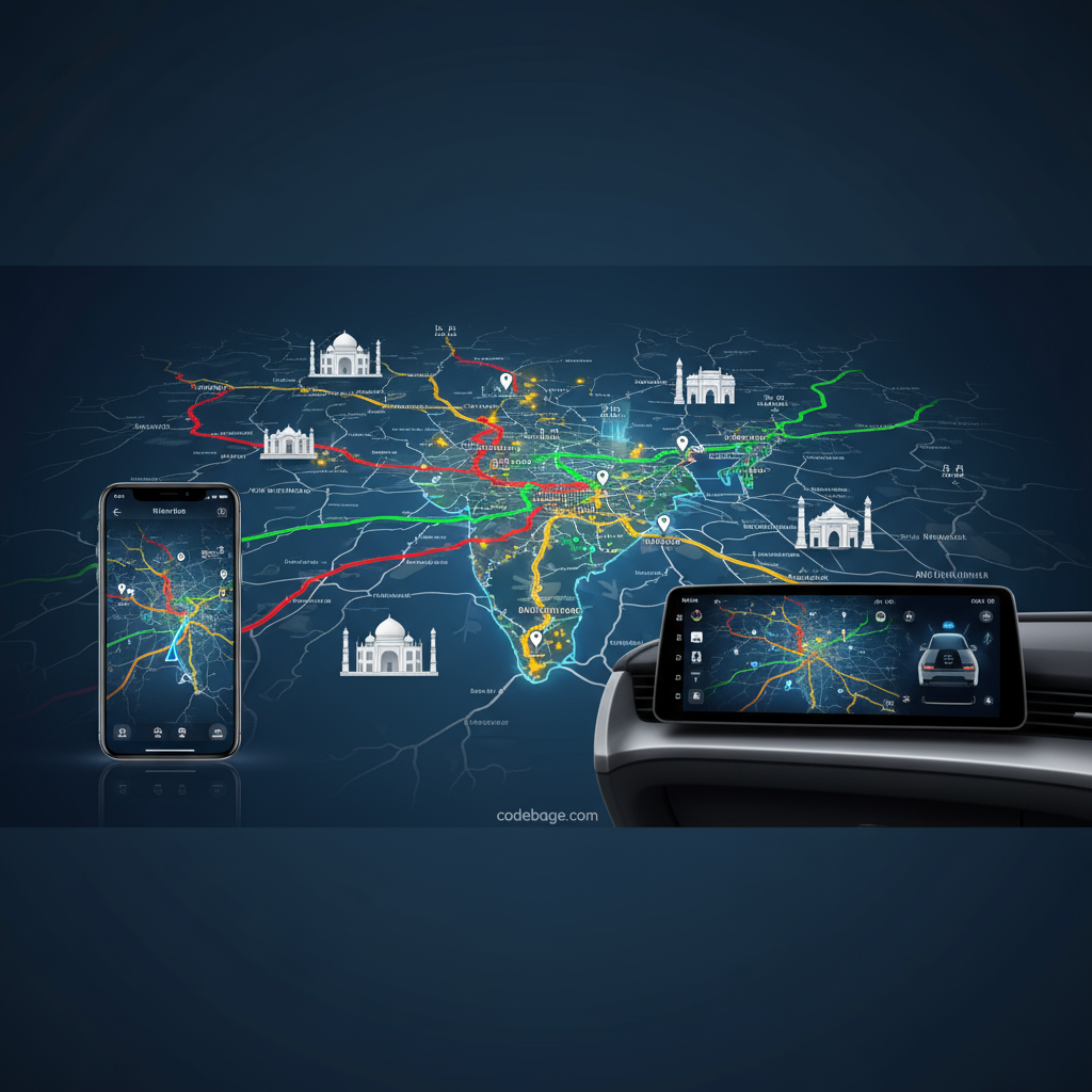
Mappls is India’s indigenous super app for navigation, mapping, and location-based services, developed to offer a highly accurate, user friendly, and feature rich alternative to global mapping platforms. With real-time traffic updates, voice-guided navigation, detailed 3D junction views, and powerful search APIs, Mappls enhances the overall navigation experience catered especially to Indian users.
What is Mappls?
Mappls is an advanced mapping and navigation app developed by MapmyIndia, designed to provide seamless and accurate location services across India. It integrates India’s satellite data through a unique partnership with ISRO, delivering detailed digital maps, live traffic updates, and hyperlocal information. Users benefit from personalized routing, multiple transport mode options, real time traffic alerts, and innovative features like 3D junction views and a unique address system called eLoc or Mappls Pin.
Mappls Navigation App Features
Below are the Features of Mappls
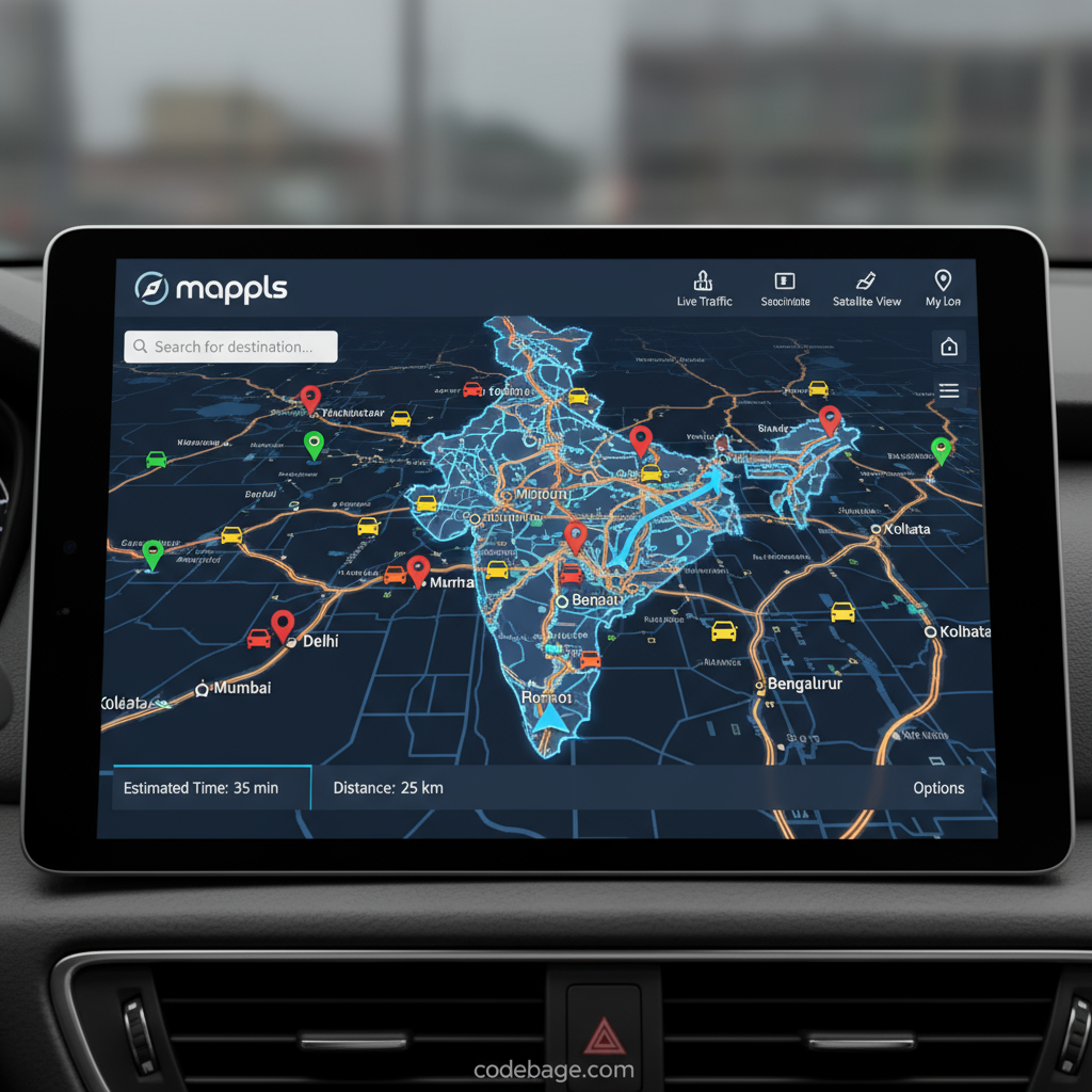
High Accuracy and Time Efficient Routes
How accurate is Mappls navigation? Mappls uses a comprehensive address database and satellite data that enable precise routing and efficient navigation paths optimized for different travel modes such as cars, bikes, trucks, and pedestrians. The app considers traffic conditions to suggest the fastest routes, helping users save time and avoid congested paths.
Voice Guided Directions and User-Friendly Interface
Mappls provides turn by turn voice-guided navigation ensuring drivers keep their focus on the road. How to set home and work address on Mappls? Users can easily add frequent addresses for quick access while navigating. The interface supports nine Indian languages for voice guidance and instructions, enhancing usability for diverse Indian users.
Real Time Traffic Updates and Alerts
Does Mappls provide live traffic updates? Yes, it offers real-time traffic info including accidents, jams, potholes, speed cameras, and sharp turn alerts, ensuring safer and smarter driving decisions. Notifications about speed cameras and monitoring systems across India help users avoid violations and penalties.
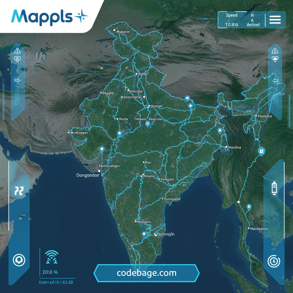
3D Junction Views for Safer Driving
Sudden decision-making at complex junctions or flyovers can be confusing and dangerous. Mappls provides a photorealistic 3D view of upcoming junctions, clearly marking lanes and turns to prevent wrong turns and accidents. This unique feature sets Mappls apart from conventional navigation apps.
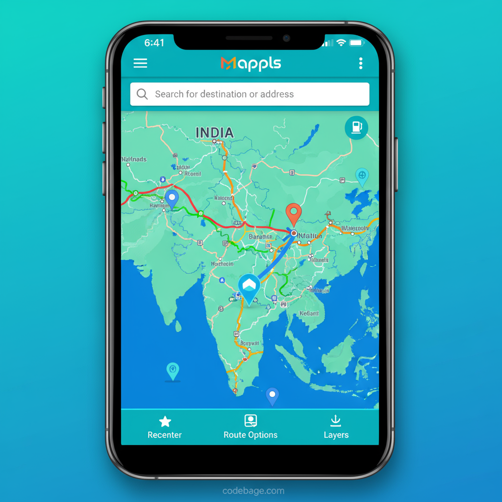
Location Sharing and Search Capabilities
Can I share my location in real-time using Mappls?
Yes, Mappls allows users to share their real-time location securely, making it easier to coordinate meetups or track loved ones’ movements.
Nearby Places and Points of Interest Search
How to find nearby points of interest using Mappls? The app supports over 300+ categories and 1500+ keywords, allowing users to search for restaurants, gas stations, hospitals, and more with ease. The powerful autosuggest feature predicts user queries on the go, accelerating search efficiency.
Unique Address System: Mappls Pin or eLoc
What is Mappls ID and how to use it? Mappls incorporates eLoc or Mappls Pin a six character alphanumeric code representing precise locations down to the doorstep. This system simplifies address input and sharing, proving invaluable in areas with complex traditional addresses.
Mappls for Different Modes of Travel
Customized Routing for Cars, Bikes, Trucks, and Pedestrians
Mappls intelligently tailors routes based on the mode of travel. For instance, it avoids narrow roads unsuitable for trucks but includes bike friendly paths and pedestrian routes where applicable. This ensures safe and efficient navigation across all transportation types.
Does Mappls support bicycle or pedestrian navigation?
Yes, it provides optimized routing for walking and cycling, taking into account road conditions and alternate pathways.
Mappls App Compatibility and Accessibility
What devices are compatible with Mappls app?
The app is available for both Android and iOS platforms, ensuring wide accessibility across smartphones. Users can download the app from major app stores.
How to update Mappls app to the latest version?
Users are recommended to keep the app updated via official app stores to access new features, security improvements, and bug fixes.
Can Mappls be accessed on multiple devices?
Yes, the app supports multi-device access, enabling users to sync preferences and saved locations seamlessly.
Mappls APIs and Mappls SDKs
How to use Mappls API for my app?
Mappls offers robust APIs including Search API, Geocoding API, Reverse Geocode API, and Nearby Places API. These let developers integrate advanced location search, geolocation, and routing functionalities into their applications with scalable and reliable performance.
How to use Mappls SDK in a project?
The Mappls SDK enables embedding custom maps, real-time navigation, and location-based features in mobile and web apps, providing a native and rich experience to end-users.
What is Mappls API integration?
Mappls APIs support various modules such as autosuggest, place details, address standardization, and geolocation based on cell tower info, empowering businesses with comprehensive spatial solutions.
Safety of Mappls and Convenience
Does Mappls provide parking availability information?
Yes, Mappls assists users in finding parking spaces near their destination for hassle-free trips.
How secure is location sharing on Mappls?
Mappls ensures secure, privacy-compliant location sharing mechanisms, protecting users’ data from unauthorized access.
Real-time alerts for hazards and traffic cameras
Drivers receive timely alerts about potential road hazards, speed cameras, potholes, and other monitoring alerts that enhance safety and reduce the risk of traffic violations and accidents.
Mappls Community and Mappls Support
Are there any Mappls community support or forums?
Yes, Mappls maintains an active support forum and FAQ sections where users can seek help, report issues, and share feedback.
How to report road conditions on Mappls?
Users can report potholes, unsafe zones, traffic jams, and other local issues directly via the app, helping improve communal map accuracy and road safety.
Mappls vs Google Maps
How does Mappls compare with Google Maps?
While Google Maps is globally popular, Mappls offers tailored navigation features grounded in Indian geography and cultural context, supported by local language options and indigenous digital addressing systems like eLoc. It focuses on hyperlocal details, 3D junction views, and safety alerts uniquely suited to Indian roads.
Additional Special Features of Mappls
Immersive 3D and 360 RealView Metaverse Maps
Mappls offers immersive mapping experiences through 3D and 360-degree views, accessible on apps and VR devices, allowing users to explore locations virtually before visiting.
Trip Cost Estimation Tool
Planning a journey? Mappls helps estimate fuel costs, tolls, and travel expenses for better budgeting and travel confidence.
Integration with DigiPin by India Post
Mappls integrates DigiPin, enhancing location accuracy and standardizing digital addresses across urban and rural India.
Mappls Reviews and Feedback
Users consistently rate Mappls highly for its accuracy, features, and user focused innovations. Many appreciate it as a reliable Indian alternative to global apps, with easy-to-understand navigation and strong language support.
Conclusion
Mappls stands as a comprehensive, India-centric mapping and navigation solution combining advanced technology, satellite data, and user-friendly features. From accurate real-time routes and voice guidance to powerful developer APIs and unique addressing systems, Mappls is set to revolutionize how Indians navigate their country safely and efficiently. Whether for everyday commuting, business logistics, or travel planning, Mappls offers the tools to make every journey smarter and more connected.
Nice information 👍
Good job